
Exploring the Lagan Towpath from Belfast
Follow the Lagan corridor through waterside paths, green spaces and the traces of Belfast's canal history.
The route beside the Lagan
The Lagan Towpath follows parts of the river and historic navigation corridor, offering a green route away from many of Belfast's busiest streets. It is used for walking, cycling and everyday journeys, so its character differs from a secluded hiking trail. Some stretches run close to water, while others pass woodland, open spaces and built-up areas. The surface and width can change along the route. A useful first decision is how far to travel before turning back, because the full corridor extends beyond a short city-centre stroll.
Industrial history along the water
The towpath's name reflects the former practice of moving boats along a navigation route. Remains of locks and other waterside structures help explain the area's earlier transport function. Not every visible feature belongs to the same period, and the river corridor has changed substantially over time. Looking at bridges, banks and engineered sections of waterway can make the route more interesting than a simple exercise walk. Historic structures should be observed from safe public areas; waterside edges and old masonry may be uneven or slippery.
Choosing a section to explore
Different starting points offer different experiences. A section closer to Belfast may be more convenient for a shorter visit, while farther stretches can feel greener and quieter. The distance on a map does not always show how many crossings or access points are involved. Visitors should plan a route that suits their available time and consider whether they want to return along the same path. When walking with children or anyone who needs frequent breaks, shorter sections with clear access points are often more manageable than an ambitious one-way journey.
Sharing the towpath responsibly
Walkers and cyclists may use the same narrow stretches, so awareness of other users is essential. Groups should avoid blocking the full path, particularly near bends or bridges where visibility is limited. Dogs should be kept under effective control, and wildlife should not be approached or fed. After heavy rain, muddy patches or standing water can affect the surface. The river itself presents hazards, including steep banks and changing water conditions. Staying on the path and avoiding shortcuts near the edge reduces unnecessary risk.
Seasonal differences and practical needs
The towpath changes noticeably through the year. Leaf cover can make wooded sections feel enclosed in summer, while winter exposes more views of the river and surrounding land. Rain and low temperatures can alter walking conditions even when the route remains open. Suitable shoes and a plan for the return journey are useful. Facilities are not equally available along every stretch, so visitors should not assume that refreshments or toilets will be nearby. A riverside walk can be satisfying without covering a large distance.
Related content
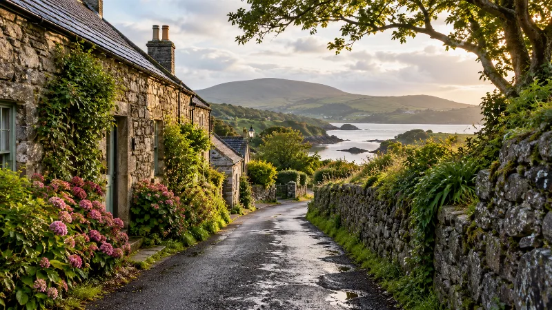
Hidden Gems in Belfast and Northern Ireland
Discover quieter corners, overlooked streets and less obvious landscape stops beyond familiar visitor routes.

Belfast Parks and Green Spaces
Find Belfast’s gardens, river paths and hill walks, with guidance on choosing a suitable outdoor visit.

Belfast City Centre Walking Guide
Follow a practical walking route through Belfast’s central streets, civic landmarks and historic quarters.
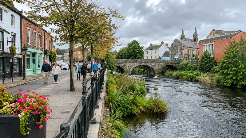
Belfast to Lisburn: A Day Trip Guide
Plan a focused day in Lisburn, with its city centre, linen history and nearby Lagan Valley landscape.
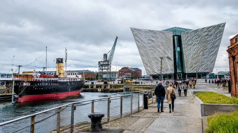
Belfast's Maritime Heritage Walking Route
Trace Belfast's relationship with the River Lagan, docks, shipbuilding and changing waterfront spaces.
Exploring Strangford Lough from Belfast
Practical guidance to help plan exploring Strangford Lough from Belfast. Compare your options, review key details and prepare for a smoother visit to.