
Belfast's Maritime Heritage Walking Route
Trace Belfast's relationship with the River Lagan, docks, shipbuilding and changing waterfront spaces.
A city shaped by its waterfront
Belfast's maritime history is tied to the River Lagan, access to Belfast Lough and the growth of trade and industry. A waterfront walk reveals how the city has changed from working port infrastructure to a mixture of commercial, cultural and public spaces. Not every former industrial area is publicly accessible, and modern buildings can obscure older patterns of use. The route is best understood as a sequence of viewpoints rather than a continuous trail through every historic dock. Bridges, quays and surviving structures provide useful clues to earlier activities.
Starting near the central riverfront
The central riverside offers a practical place to begin, with views across the water and connections to surrounding streets. Looking at the width of the river, its banks and the position of bridges helps explain why particular areas developed for transport and commerce. The Lagan Weir is a modern intervention in a much older waterway, illustrating how the river continues to be managed. Pedestrian routes and crossings should be followed carefully because waterfront paths may change direction around buildings or transport infrastructure.
Shipbuilding and dockland history
Shipbuilding became a major part of Belfast's industrial identity, alongside engineering and associated trades. The former shipyard landscape includes large-scale structures and spaces whose dimensions reflect industrial work. A walk around accessible waterfront areas can provide a sense of that scale without entering operational or restricted sites. It is important to distinguish between heritage interpretation and surviving working infrastructure. Visitors should not cross barriers or approach dock edges to obtain photographs. Some structures are best understood from designated public viewpoints.
Reading the changing architecture
The waterfront contains buildings from different phases of development, including former industrial facilities, later offices and newer public spaces. Contrasts in materials, building height and street alignment can indicate changes in land use. Some older structures have been adapted rather than demolished, while other areas have been completely reshaped. A walking route that pauses at several viewpoints makes these differences easier to recognize. Historical significance does not always correspond to an impressive façade; a modest surviving feature may reveal how an area once functioned.
Planning a safe waterfront walk
Wind and rain can be more noticeable along exposed stretches beside the river and docks. Footwear with reliable grip is useful where surfaces become wet. Some routes include busy roads or bridge crossings, so pedestrians should use marked facilities. Public access can change around construction and events. Rather than committing to a fixed circuit, visitors can choose a short central section and extend it if conditions permit. The aim is to connect the river, port activity and urban development through observations made from accessible public areas.
Related content
Belfast Maritime Mile Walking Guide
Practical guidance to help plan belfast Maritime Mile Walking Guide. Compare your options, review key details and prepare for a smoother visit to Northern.
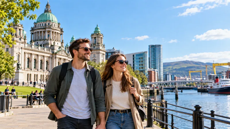
Belfast in 2 Days
A two-day Belfast itinerary combining central districts, maritime heritage and unhurried exploration.
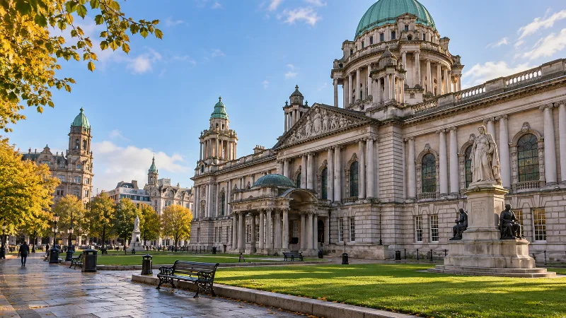
Belfast Museums and Historic Attractions
Explore Belfast’s museums and historic sites through their different themes, locations and visitor requirements.
Visiting Carrickfergus Castle from Belfast
Practical guidance to help plan visiting Carrickfergus Castle from Belfast. Compare your options, review key details and prepare for a smoother visit to.
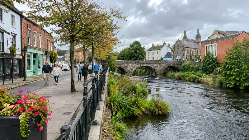
Belfast to Lisburn: A Day Trip Guide
Plan a focused day in Lisburn, with its city centre, linen history and nearby Lagan Valley landscape.
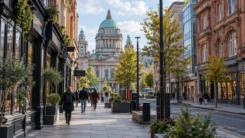
Belfast City Centre Walking Guide
Follow a practical walking route through Belfast’s central streets, civic landmarks and historic quarters.