
Discovering the Sperrin Mountains by Road
Plan a scenic journey through the Sperrin uplands with attention to rural roads, landscapes and weather.
The character of the Sperrin uplands
The Sperrin Mountains extend across a broad area of Northern Ireland, with rounded hills, valleys and rural settlements. Unlike a single viewpoint destination, the region is best understood through a journey that reveals changing landscapes over time. Roads pass farmland, river valleys and higher ground, often with limited services between settlements. A scenic drive should not be planned as a race between named stops. The interest lies partly in the gradual transitions between enclosed valleys and more open upland views.
Choosing a realistic route
The Sperrins cover a large region, so it is important to select a manageable section rather than assume the entire area can be explored in one day. A route may be shaped around a valley, a nearby town or a particular viewpoint. Driving distances alone do not reflect travel time on narrow rural roads. Curves, gradients and slow-moving vehicles can reduce average speeds. Drivers should leave enough time for the return journey and avoid adding distant detours simply because they appear close on a map.
Reading the landscape from the road
Open hillsides, field boundaries and scattered settlements help reveal the relationship between agriculture and the upland environment. The scenery changes with the seasons, from greener valleys in warmer months to more exposed hillsides during winter. Mist can conceal higher ground even when nearby towns remain clear. Stopping to observe the landscape should be done only where parking is permitted and safe. Gateways, passing places and farm entrances must remain unobstructed. A good viewpoint is not worth creating a hazard for other road users.
Weather and road conditions
Upland weather can change quickly, and roads may be affected by rain, fog, ice or strong winds. Drivers should be prepared for reduced visibility and should not rely on an uninterrupted mobile signal in every rural location. Road surfaces and widths vary, with some sections requiring extra caution when meeting oncoming vehicles. The journey is more comfortable when there is no pressure to maintain an unrealistic schedule. During winter, shorter daylight hours make it especially important to know where the route will finish.
Settlements and practical stops
Small towns and villages can provide useful breaks, but facilities and opening times should not be assumed. Fuel, food and rest stops are best considered before entering more remote stretches. A short walk from an appropriate public parking area can add variety, provided the terrain and weather are suitable. Visitors should respect private land and avoid entering fields without lawful access. The region's appeal comes from its working rural landscape as much as its mountain views, so considerate travel is part of the experience.
Related content
Belfast Car Hire with Sat Nav
Satellite navigation can make driving in an unfamiliar city far less stressful. Here is how navigation is normally supplied with a hire car in Belfast, what to confirm at collection, and when a phone works just as well.
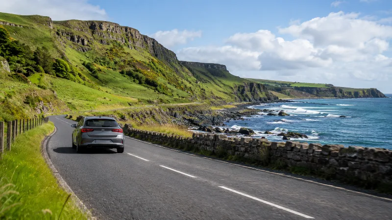
Car Hire in Northern Ireland and Digital Travel Guides
Discover essential information about renting a car in Northern Ireland, including Belfast airports, driving regulations, insurance, rental conditions and scenic travel routes.
Driving from Belfast to the Mourne Mountains
Practical guidance to help plan driving from Belfast to the Mourne Mountains. Compare your options, review key details and prepare for a smoother visit to.
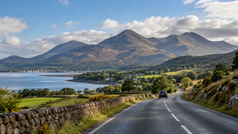
Driving from Belfast to the Mourne Mountains
Plan the drive from Belfast to the Mourne Mountains, including the Newcastle approach and rural road considerations.
Belfast to Mourne Mountains Car Hire Driving Route
Two workable ways to drive from Belfast to the Mourne Mountains in a hire car, plus honest advice on town parking, narrow lanes and mountain gradients.
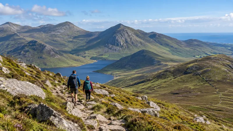
Exploring the Mourne Mountains from Belfast
Plan a day around the Mourne Mountains with realistic walking and travel decisions.